Kings Canyon National Park is one of the deepest canyons in the United States, carved more than 8,200 feet into the Sierra Nevada granite, deeper than the Grand Canyon by over 2,000 feet.
It sits in central California, about an hour east of Fresno, sharing a border and a single entrance fee with Sequoia National Park just to the south. The two parks are managed together, and a $35 vehicle pass covers both for seven days.
That said, most people who visit this part of California spend their time in Sequoia and barely touch Kings Canyon.
That is a planning mistake worth correcting.
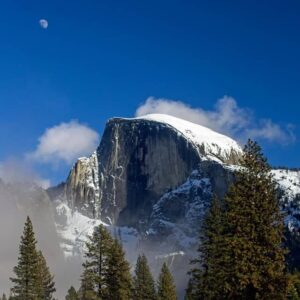
John Muir called Kings Canyon a rival to Yosemite in terms of beauty. He was not wrong, and the comparison still holds, except that Kings Canyon has a fraction of the traffic.
Where Yosemite Valley can feel like a crowded outdoor mall in July, the valley floor at Kings Canyon reads as something genuinely remote, with canyon walls rising above you and almost no commercial infrastructure in sight.
For American and Canadian visitors building a California national parks road trip, and for German travelers who tend to pursue less crowded outdoor destinations, Kings Canyon deserves a serious look.
The Two Parts of the Park
Kings Canyon is not one coherent landscape you can absorb in a single loop. It divides naturally into two distinct areas, and understanding that division is the first step to planning a good visit.
The first is Grant Grove, near the park entrance off Highway 180. This is sequoia country.
The General Grant Tree stands here 267 feet tall, roughly 1,650 years old, the second-largest tree in the world by volume, and designated the nation’s Christmas tree in 1926.
The short paved loop through Grant Grove takes around 30 minutes and is accessible for most visitors, including families with young children.
The Redwood Mountain Grove nearby contains more than 15,000 mature sequoias, the largest remaining natural grove of these trees anywhere on earth, and sees only a fraction of the foot traffic that Grant Grove does.
The second area is Cedar Grove, reached by driving the Kings Canyon Scenic Byway 30 miles of winding road that drops 2,000 feet into the canyon and takes the better part of an hour each way.
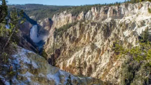
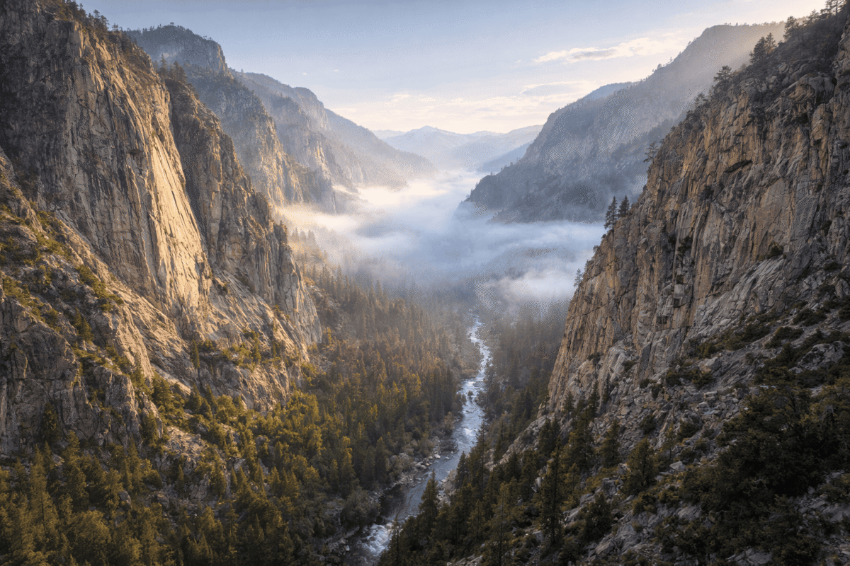
Cedar Grove is the inner canyon: the Kings River running along the valley floor, granite walls rising thousands of feet on both sides, and the kind of landscape scale that makes you recalibrate your sense of distance.
The road into Cedar Grove closes in winter, typically from mid-November through mid-April, so timing matters.
The Cedar Grove
Cedar Grove is where Kings Canyon separates itself from every other California park. The canyon floor is flat and undeveloped in a way that genuinely surprises first-time visitors.
There are four campgrounds, a small lodge, a grill, and very little else. The hiking, not the amenities, is the reason to be here.
The Mist Falls Trail is the standout day hike. It starts at Road’s End, the terminus of Highway 180 at the bottom of the canyon, and runs eight miles round trip with around 600 feet of elevation gain manageable for most fit adults.
The trail follows the South Fork of the Kings River through open sandy flats with canyon views, then through denser forest before arriving at one of the largest waterfalls in the park.
At peak snowmelt in late spring, the falls push enough water to generate a constant mist that coats the surrounding rocks.
No permit is required for day hiking, but restrooms and water are available at the trailhead.
Zumwalt Meadow, a few miles west of Road’s End, is the easier companion hike. The trail, currently running as an out-and-back due to flood damage on the loop portion, crosses a suspension bridge over the Kings River, moves through a boulder field, and opens onto a broad river meadow framed by canyon walls.
It takes most visitors under two hours and rewards them with the kind of view that looks engineered for a camera.
Roaring River Falls, accessible via a short flat path just off the road, is worth the five-minute detour on the drive in or out.
The Sequoias
The General Sherman Tree in Sequoia National Park gets most of the attention in this part of California, and understandably so it is the largest living tree by volume on earth.
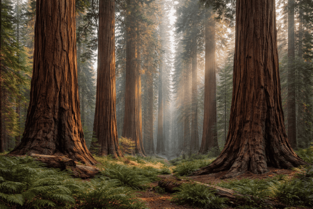
But the sequoias in Kings Canyon, particularly in Redwood Mountain Grove, are more numerous and far less visited.
If your goal is to stand inside an ancient sequoia grove and feel the actual scale of those trees without navigating crowds, Kings Canyon is where you do it.
Grant Grove itself is accessible year-round, unlike Cedar Grove, which makes it a viable winter destination for visitors willing to drive Highway 180 from Fresno.
Snow on the forest floor between the sequoias is one of the quieter, stranger, more memorable things you can encounter in any American national park.
Planning the Visit
Two days is the practical minimum for doing justice to both Grant Grove and Cedar Grove.
One day is enough to get a taste, but you will have to choose between the sequoias and the inner canyon rather than seeing both at a reasonable pace.
Three days or more opens up the backcountry, including the Rae Lakes Loop, one of the most celebrated backpacking routes in the Sierra Nevada.
The $35 vehicle entrance fee covers both Kings Canyon and Sequoia.
The America the Beautiful annual pass at $80 covers all federal lands for a year and makes clear financial sense for anyone visiting more than two parks.
Campsite reservations open six months in advance on recreation.gov and are competitive for summer weekends in Cedar Grove.
If you are building a broader California itinerary and want to understand the full national park landscape before committing to specific parks, the national park map by state is a useful reference for visualizing routes and clustering parks geographically.
Road conditions in the inner canyon can change quickly, particularly early and late in the season.
The NPS alerts page for Sequoia and Kings Canyon is updated regularly and worth checking in the days before any visit road closures and trail conditions in this part of the Sierra are genuinely variable.
Before heading into Cedar Grove, the NPS alerts tool on Tadexprof walks through how to use those resources effectively as part of any national park trip.
Kings Canyon and the California Road Trip
Kings Canyon sits at the southern end of a natural California parks sequence. Coming from the north, most visitors move through Yosemite before heading south into the Sierra.
Coming from the east, Highway 395 through the Owens Valley gives access to the park from the other side of the Sierra Nevada, though that route adds significant driving time.
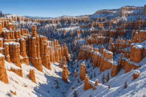
If the broader western parks loop is the goal and you have already planned stops in Utah, our posts on Zion National Park and Bryce Canyon National Park cover those parks in full and can help you sequence the drive logically.
Most visitors to this part of California treat Kings Canyon as an afterthought to Sequoia. The canyon disagrees.
The scale of it the depth, the granite walls, the river running through a valley floor that sees a fraction of Yosemite’s traffic makes a case for itself quietly and without competition.
You either stand at Road’s End and understand it, or you go home wishing you had stayed another day.