Best hikes in Death Valley National Park do not follow the usual national park pattern of a well-marked trailhead and a groomed path.
Most routes here run cross-country, up washes, through canyons, or along ridgelines, and the park itself is upfront about it, there are few constructed trails, but in a landscape this open you rarely need them.
That changes how a visitor should plan.
The question is not just which hike looks good on a map, it is which hike fits the season, the elevation, and how much heat a person can realistically handle that day.
Easy Walks Near Furnace Creek
Badwater Salt Flat
It’s the hike most visitors do without planning to, a flat, mile-long walk out onto the lowest point in North America, with the option to keep going five miles across the salt if the heat allows it.
Mesquite Flat Sand Dunes
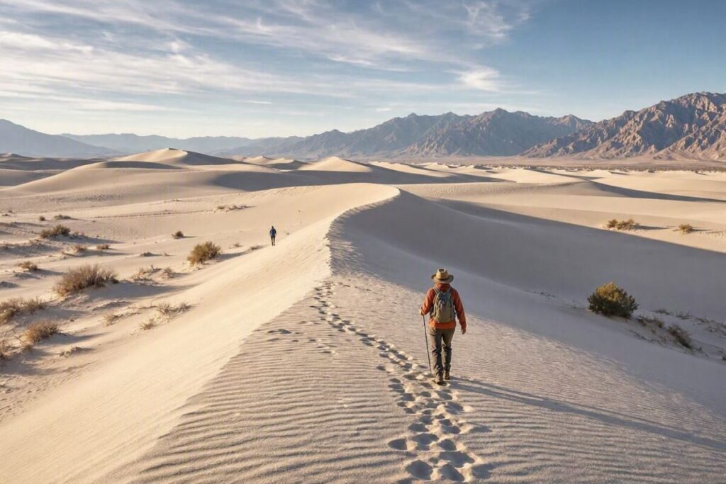
It is near Stovepipe Wells, offers a two-mile round trip with no formal trail, just a direct walk to the summit of the highest dune, best done at sunrise or sunset when the light rakes across the ridgelines.
Both are short enough for a first morning in the park and forgiving enough for travelers still adjusting to the elevation and dry air, something many first-time desert visitors tend to underestimate.
Golden Canyon and the Badlands
Golden Canyon
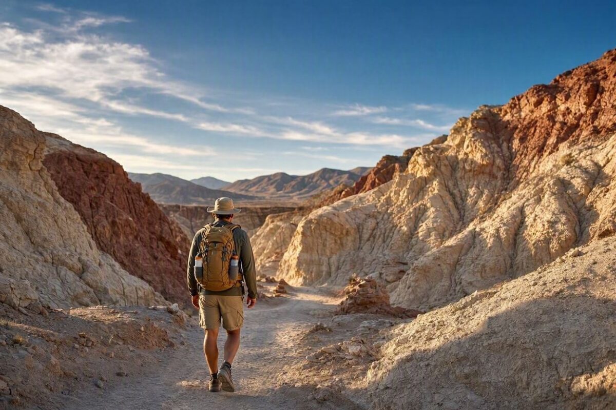
It’s the park’s signature moderate hike, a maze of eroded badlands that can be walked as a short there-and-back or extended into a longer loop through Gower Gulch and past Zabriskie Point, with total distances ranging from three to eight miles depending on the route chosen.
The badlands
Shift color through the day, gold at midday, deeper red near sunset, which is why serious photographers plan their Death Valley mornings around this exact stretch of trail.
It is also one of the more exposed hikes in the park, with almost no shade, so timing matters as much as distance.
Mosaic Canyon and the Cooler West Side
On the western side of the park, Mosaic Canyon offers a different kind of hike entirely, a narrow slot canyon with polished marble walls that stay noticeably cooler than the open badlands closer to Furnace Creek.
The four-mile round trip runs through tight passages and requires some scrambling, but most hikers turn around at the first narrows less than half a mile in and still come away with the best of it.
Darwin Falls, further west near Panamint Springs, rewards a seven-mile round trip with an actual waterfall and pool, a genuine surprise in a park defined by its dryness, though recent flood damage has left the trail rougher than it used to be and worth checking current conditions on before setting out.
The High Peaks
These are demanding routes.
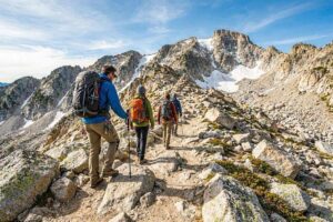
Wildrose Peak runs about 8.4 miles round trip with roughly 2,200 feet of elevation gain, while Telescope Peak is a longer commitment at 14 miles round trip with about 3,000 feet of gain, and they double as a smart summer alternative, since the high country stays far cooler than the valley floor when Furnace Creek is pushing past 110 degrees.
Seasonal Safety
The park is direct about timing, the best months for hiking here run from November through March, with even spring and fall capable of producing heat that most people find unbearable at lower elevations.
Water needs scale sharply with the season, a short winter day hike calls for at least two liters per person, while anything longer in warmer months requires a gallon or more, since springs in the park are rare and unreliable even when they appear on a map.
Anyone driving into the backcountry beyond the main hikes should also be carrying two full-size spare tires and extra food and water, since rescue on the park’s unpaved roads can be seriously delayed.
It is the kind of preparation that matters more here than at almost any other park in the country, and it is worth treating with the same seriousness as travel insurance or emergency roadside coverage before setting out.
Planning Your Trip
Most of these trailheads sit along the same paved routes covered in the how to get to Death Valley National Park guide on Tadexprof, worth reading before mapping out which hikes fit into a single day versus which require a dedicated morning.
And since an early start matters more here than almost anywhere else, the best hotels near Death Valley National Park guide on Tadexprof breaks down which properties actually put you close enough to the trailhead to beat the heat.
For the full, current list of routes, distances, and difficulty ratings straight from the source, the National Park Service hiking page is worth a final check before departure, since trail conditions here can change quickly after flooding or storm damage.
None of these hikes require technical skill, but nearly all of them require respect for a landscape that offers very little margin for error.
Go early, carry more water than feels necessary, and pick the hike that matches the month rather than the one that photographs best, and Death Valley turns from a place to survive into one of the most quietly rewarding hiking destinations in the American Southwest.
What’s the best hike for a first-time visitor to Death Valley?
Badwater Salt Flat is the easiest starting point, a flat, mile-long walk out onto the lowest point in North America, with the option to extend it up to five miles across the salt if the heat allows.
It’s short enough for a first morning and forgiving for anyone still adjusting to the elevation and dry air.
When is the best time of year to hike in Death Valley?
The park itself points to November through March as the best window, since even spring and fall can produce heat that’s unbearable at lower elevations.
If you’re set on a summer visit, the high peaks, Wildrose Peak and Telescope Peak, stay far cooler than the valley floor and make a solid alternative when Furnace Creek is pushing past 110 degrees.
How much water do I need for a Death Valley hike?
It scales sharply with season.
A short winter day hike calls for at least two liters per person, while anything longer in warmer months requires a gallon or more, since springs in the park are rare and unreliable even when they appear on a map.