The best hikes in Rocky Mountain National Park cover over 350 miles of trail across a park that sits almost entirely above 8,000 feet.
That elevation is the first thing every visitor underestimates and the last thing they forget.
Trails that look moderate on paper become genuinely demanding when the air is thin, the afternoon storm rolls in at 1 PM with no warning, and you are still two miles from the trailhead.
This guide covers the trails that define the park, what each one looks and feels like on the ground, how hard they actually are, and what you need to know before you start walking.
Mills Lake
Mills Lake sits at 9,900 feet and covers five miles roundtrip with 700 feet of elevation gain, making it the most accessible serious hike in the park and the right first trail if you are arriving from sea level or spending your first day at altitude.
The trail starts at Glacier Gorge Trailhead, passes two waterfalls in the first mile, and delivers you to a lake framed by Longs Peak, Keyboard of the Winds, and the Spearhead on the far shore.
The mountains surrounding the lake make it one of the most photographed spots in the park and one of the few where the view actually exceeds the anticipation.
The trade-off for that accessibility is company.
Mills Lake is the busiest trail on this list.
Trailhead parking fills before 7 AM on summer weekends, and the Bear Lake corridor timed entry permit, separate from the standard park entry, is required to access the Glacier Gorge Trailhead.
Arrive before sunrise or use the park shuttle from the overflow lot.
The lake works in winter as a snowshoe route when trail traffic drops to almost nothing and the surrounding peaks carry fresh snow.
Odessa Lake
At 8.8 miles roundtrip with 1,865 feet of elevation gain and a maximum elevation of 10,000 feet, Odessa Lake via Fern Lake is the most underappreciated trail in the park.
It runs through the burn scar of the 2020 East Troublesome Fire for a significant portion of the approach, which is exactly why most visitors overlook it and exactly why it is worth doing.
The fire damage opened the landscape in ways that a forest canopy does not allow, and the recovery vegetation growing back through the charred ground five years later is genuinely fascinating to walk through.
The views that the open burn zone creates are longer and more dramatic than any forested trail delivers.
The trail passes Fern Falls and Fern Lake before climbing out of the burn zone into an unaffected section of forest where nearly every corner delivers a new view.
Odessa Lake at the end sits undamaged, calm, and cold enough for a worthwhile swim in July.
Start early because the lack of shade in the burn zone makes midday hiking significantly hotter than other trails at the same elevation.
There are very few people past Fern Lake.
That quiet is the reward for the extra effort.
Old Ute Trail
The Old Ute Trail covers 3.5 miles point-to-point with 950 feet of elevation gain and tops out at 11,796 feet at the Alpine Visitor Center, the highest elevation visitor center in the entire national park system.
The trail runs along a section of Trail Ridge Road corridor but on foot rather than behind glass, which changes the experience completely.
You start in the treeline and climb steadily through subalpine krummholz into open tundra where the views extend across the full width of the park in every direction.
Point-to-point logistics require a car shuttle or a turnaround at Milner Pass for the return.
The upside is that driving Trail Ridge Road as part of the approach to or departure from this trail gives the road the context it deserves.
Most visitors drive it in thirty minutes and move on.
Walking even a portion of the landscape above treeline on the Ute Trail slows everything down in the way that high altitude terrain demands and rewards.
Flattop Mountain
Flattop Mountain covers 8.8 miles roundtrip with 2,849 feet of elevation gain from the Bear Lake Trailhead to a summit at 12,328 feet.
It is the most demanding trail starting from Bear Lake and the one that filters out the crowd fastest.
The route shares trail with the Dream Lake and Emerald Lake paths for the first section, then branches uphill while the majority of hikers continue to the lakes.
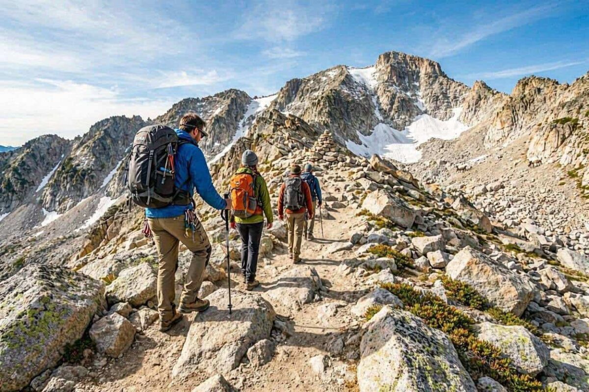
From the split, the crowds disappear and the climbing begins in earnest.
The ascent above treeline passes several overlooks where Dream Lake and Emerald Lake are visible from above, an unusual perspective that reverses the usual angle and gives the lakes a different kind of visual weight.
The summit plateau is exactly as the name describes: broad, flat, rocky, and exposed, with views extending to Grand Lake on the western side of the Continental Divide.
For hikers who want an additional challenge, the scramble to Hallett Peak from the summit plateau adds both elevation and a more technical terrain experience.
Be off the summit by noon. The exposure on Flattop in an afternoon thunderstorm is significant.
Bluebird Lake
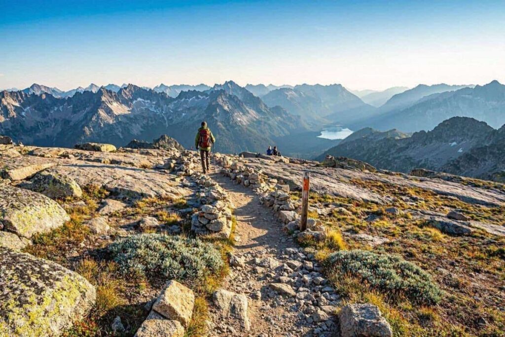
Bluebird Lake is 14 miles roundtrip with 2,443 feet of elevation gain, starting from the Wild Basin Trailhead in the southeastern corner of the park, a section that sees far less traffic than the Bear Lake corridor.
The trail follows Ouzel Creek through forest and passes three or four waterfalls in the first half, each one pulling a percentage of hikers off the trail as a turnaround point.
By the time you pass the junction to Ouzel Lake and continue toward Bluebird, the trail thins considerably and the character of the hike changes entirely.
The final approach to Bluebird Lake requires scrambling over rocks to reach the lake itself, which sits hidden above a short technical section.
The view from Bluebird is the finest in the park.
Mountains rise in every direction, the lake reflects them on a calm morning, and the surrounding terrain looks like somewhere far less accessible than it actually is.
This is the hike that people who have done every other trail on this list describe as their favorite.
The distance is real and day five of a six-day hiking week is a hard time to cover fourteen miles, but the trail does not lie about what it gives you at the end.
Chasm Lake
Chasm Lake covers 8.5 miles roundtrip with 2,524 feet of elevation gain and sits at 11,760 feet directly below the east face of Longs Peak, which rises another 2,500 feet above the lake.
The Longs Peak Trailhead parking lot fills before dawn.
Arriving by 5 AM is realistic for weekend visits, and on summer weekends 4 AM is not excessive.
The trail climbs steadily through forest before the trees give way to a boulder field, which the trail crosses on a well-maintained path.
Above the boulder field a narrow exposed section requires careful footwork before a final scramble delivers you to the lake.
What makes Chasm Lake distinctive is what sits above it.
The Diamond, the sheer northeast face of Longs Peak, rises directly overhead, and on clear days you can squint and identify climbers on the rock routes above.
The lake itself is cold and dark green and sits in a cirque that channels wind with enough consistency to make a warm layer worthwhile even in August.
It is the most dramatic single viewpoint any maintained trail in the park reaches.
Effect of the Mountain
Every hike in Rocky Mountain National Park starts above 8,000 feet.
Most of the trails on this list spend significant time above 10,000.
Common symptoms of altitude adjustment, headache, fatigue, shortness of breath, and disrupted sleep, appear most strongly on the first two days at elevation and ease with each subsequent day.
The standard approach that experienced high-altitude hikers use is to start with the lowest elevation trail on day one and increase the altitude gradually across the week.
Hydration at altitude requires active intention rather than thirst response.
Drink water consistently throughout each hiking day, start before you feel thirsty, and continue past when you feel satisfied.
Afternoon thunderstorms in Rocky Mountain are not weather events to push through.
Lightning above treeline in the Colorado Rockies is the park’s most serious safety hazard.
The target is to be below treeline by 1 PM on days when the forecast shows afternoon development. Leave trailheads early, move at a pace that accounts for altitude, and turn around on schedule rather than on summit logic.
A trail that took you further than expected in less time than planned is not a reason to ignore the clouds building to the west.
The current trail conditions, closures, and weather advisories for Rocky Mountain National Park are updated regularly on the NPS Rocky Mountain hiking page, which should be checked within a day or two of any planned hike since bear activity and storm damage can alter access without fixed notice.
Before finalising a Rocky Mountain itinerary, the timing decisions covered in the best time to visit Rocky Mountain National Park guide on Tadexprof determine which trails are actually open and which conditions you are hiking into.
And if accommodation is still unsettled, the best hotels near Rocky Mountain National Park guide covers Estes Park lodging across every budget level with location notes that matter when trailhead proximity determines how early you can start.
Rocky Mountain does not reward passive engagement. The park responds to effort with specificity: the harder the trail, the fewer the people, the more the landscape shows you of itself. Every hike on this list earns what it delivers.